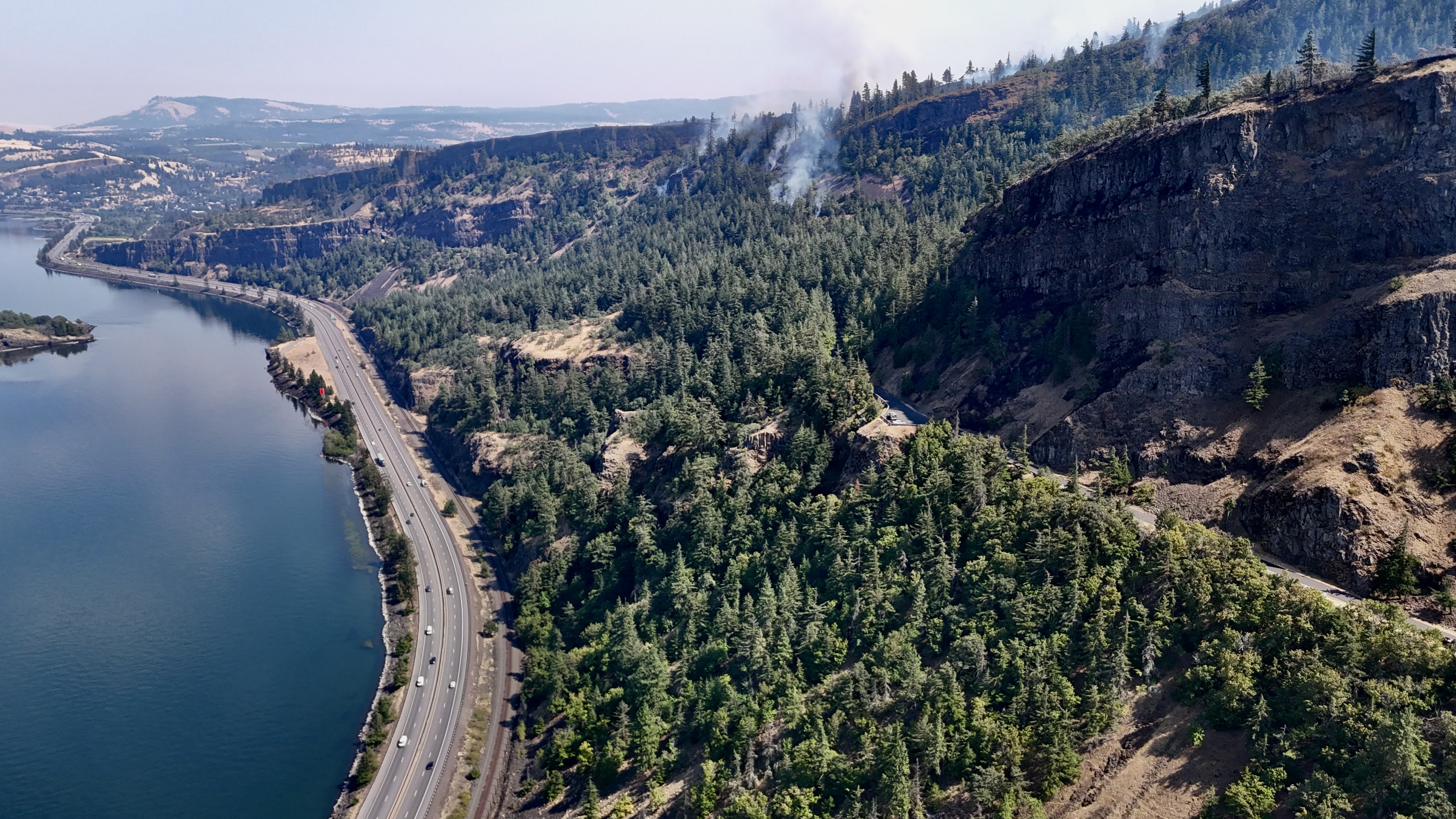
Timothy Lake, Rock Creek Campground and several popular Mt. Hood trails reopened Sept. 4, giving Clackamas County residents more options for the Labor Day weekend as the Grasshopper fire reached 84% containment.
The U.S. Forest Service reduced the closure order for the 93,993-acre fire after improved conditions along Oregon Route 35 made some areas on the eastern side of the mountain accessible again, the Mountain Times of Oregon reported.
The containment and acreage figures were confirmed by The Oregonian. The lightning-caused fire started July 23 about three miles north of Sportsmans Park.
Rock Creek Campground and Day Use Area, the Timberline Trail and Tamanawas Falls Trail are all open.
Portland General Electric also reopened Timothy Lake, which had been closed because of fires in the Clackamas River Ranger District.
What stays closed
Portions of the Barlow, Hood River and Clackamas River ranger districts remain off-limits. The Forest Service said it will continue evaluating closure boundaries and reopen areas when conditions allow.
The separate Austin Fire, burning along the upper Clackamas River, kept its closure order in place.
That fire had burned 12,610 acres with 0% containment as of a Sept. 2 KGW report. Lake Harriet, Bagby Hot Springs and campgrounds along the Clackamas River east of Carter Bridge remained closed, along with Highway 224 east at Carter Bridge.
Campfire ban still in effect
All campfires, charcoal fires, briquette fires and open flames remain prohibited across the entire Mt. Hood National Forest under a fire restriction order in effect since July 1. Propane portable firepits and camp stoves are allowed.
The Forest Service warned that recent rain and cooler weather helped reduce fire activity but did not fully saturate vegetation after a summer of drought. Warmer, drier conditions are expected in the days ahead.
Driving near Mt. Hood
Travelers heading to Mt. Hood for the holiday weekend should use caution near Mt. Hood Meadows Ski Area, which serves as the Grasshopper fire's main camp for fire personnel.
Clackamas County lifted its Level 1 evacuation notice for the Mount Hood corridor on Aug. 19, covering the area from Rhododendron east through Government Camp, according to Clackamas County emergency alerts.
Oregon's 2026 wildfire season had burned more than 2.5 million acres as of Aug. 31, setting a new state record, according to the Oregon Department of Forestry.
Current fire and closure information is available on the Mt. Hood National Forest alerts page.